
Drone Services
LiDAR Surveying
Mapping Like Never Before — Pinpoint Accuracy with High-Resolution LiDAR
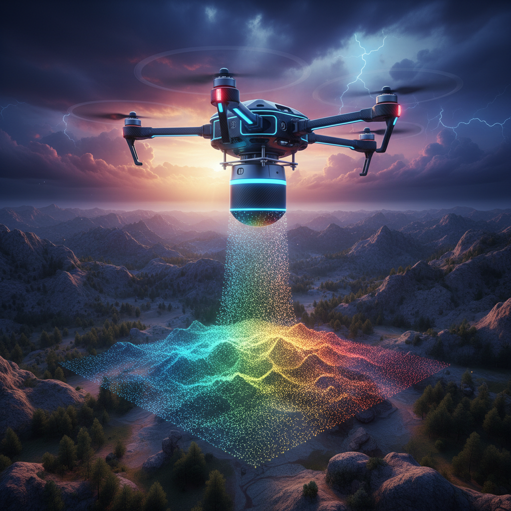
Get pinpoint accuracy with high-resolution LiDAR technology for infrastructure, terrain, and industrial mapping. DLN's LiDAR drone services deliver 3D point cloud data with centimetre-level precision.
3D Point Cloud Mapping
Generate highly accurate 3D models of terrain, buildings, and infrastructure with millions of data points.
Centimetre Accuracy
LiDAR technology delivers centimetre-level accuracy for the most demanding survey applications.
Vegetation Penetration
LiDAR pulses penetrate dense vegetation to reveal ground surface beneath tree canopies.
Large Area Coverage
Cover vast areas quickly and efficiently compared to traditional ground-based survey methods.
Infrastructure Inspection
Detailed inspection of bridges, power lines, pipelines, and other critical infrastructure.
Rapid Data Delivery
Fast processing and delivery of survey data in industry-standard formats for immediate use.
Request a LiDAR Survey
Contact DLN Technosys today to discuss your LiDAR surveying requirements.