

Drone Mapping Solutions
Map Every Inch. Miss Nothing.
Precision aerial mapping for construction, GIS, urban planning, and industrial surveys.
DLN Technosys delivers end-to-end drone mapping solutions that turn raw aerial data into actionable intelligence — high-resolution orthomosaics, 3D point clouds, topographic models, and volumetric reports for every industry that depends on accurate ground truth.
Four Domains. One Mapping Platform.
From construction sites to smart cities, our drone mapping solutions deliver survey-grade data for every industry that depends on accurate ground truth.
Construction, Mining & Land Surveys
Capture centimetre-accurate orthomosaics and dense 3D point clouds over construction sites, quarries, and land parcels. Track earthwork progress, calculate stockpile volumes, and produce survey-grade deliverables in a fraction of the time of traditional methods.
- Sub-5 cm GSD orthomosaics
- Dense 3D point cloud generation
- Stockpile & cut-fill volume reports
- Progress monitoring over time
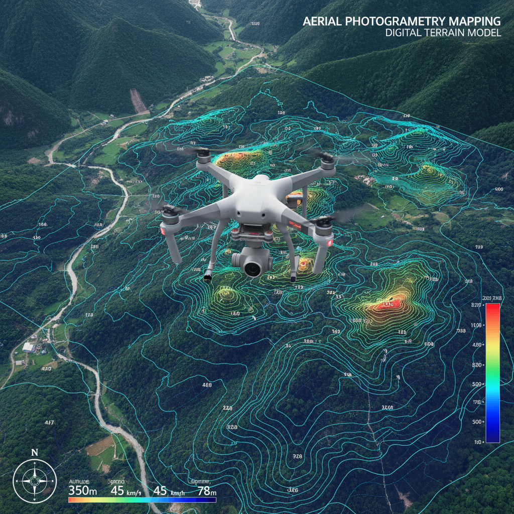
Terrain Modelling & Contour Analysis
Generate precise Digital Elevation Models (DEMs), Digital Terrain Models (DTMs), and contour maps for government surveys, infrastructure planning, and watershed management. Deliver GIS-ready outputs compatible with ArcGIS, QGIS, and AutoCAD.
- DEM & DTM generation
- Contour map production
- Volumetric & slope analysis
- GIS-ready export formats
City Planning, Roads & Utility Mapping
Support smart city initiatives with high-detail aerial maps for road condition surveys, utility corridor mapping, urban sprawl analysis, and post-disaster assessment. Provide planners and engineers with up-to-date, georeferenced data at city scale.
- Road & pavement condition surveys
- Utility corridor mapping
- Urban growth & land-use analysis
- Disaster damage assessment
Facilities, Pipelines & Asset Mapping
Map large industrial facilities, pipeline corridors, power transmission lines, and remote assets with speed and safety. Reduce survey crew exposure to hazardous environments while delivering georeferenced maps and inspection-ready 3D models.
- Pipeline & corridor mapping
- Power line route surveys
- Facility & plant layout mapping
- Remote & hazardous area coverage
[ Fly. Capture. Deliver. ]
Platform Capabilities
Hardware precision and software intelligence that make every mapping mission survey-grade.
RTK/PPK Precision
Real-time kinematic and post-processed kinematic GPS ensure survey-grade positional accuracy without ground control points.
High-Resolution Imaging
45 MP full-frame sensors capture sub-3 cm ground sampling distance for crisp, detail-rich orthomosaics.
Automated Flight Planning
Mission planning software generates optimised flight paths for full coverage, overlap, and efficient battery use.
Rapid Data Processing
Cloud-based photogrammetry pipelines deliver processed orthomosaics, point clouds, and DEMs within hours of flight.
Multi-Format Deliverables
Outputs in GeoTIFF, LAS, DXF, SHP, KML, and PDF — compatible with all major GIS and CAD platforms.
Large-Area Coverage
Fixed-wing and hybrid VTOL platforms cover hundreds of hectares per mission, slashing survey time and cost.
Get Survey-Grade Maps from the Air
Talk to our mapping specialists about the right drone and data pipeline for your project — from a single site to a city-wide survey.